...but everyone I know seems to regard them as highly aggressive.
And a single loop of 130 pound Greenspot on a bridle end as the ideal one-size-fits-all aerotow weak link.
To be fair, aggressive should mean charging, not maintaining pre-existing personal space - 'specially when there can be a huge increase in risk in the course of a retreat. And here's what Wikipedia has to say about the issue:
http://en.wikipedia.org/wiki/Agkistrodon_piscivorus
Agkistrodon piscivorus - Wikipedia
The aggressiveness of these snakes has been greatly exaggerated. In tests designed to measure the various behavioral responses by wild specimens to encounters with people, 23 of 45 (51%) tried to escape, while 28 of 36 (78%) resorted to threat displays and other defensive tactics. Only when they were picked up with a mechanical hand were they likely to bite.
When sufficiently stressed or threatened, this species engages in a characteristic threat display that includes vibrating its tail and throwing its head back with its mouth open to display the startling white interior, often making a loud hiss while the neck and front part of the body are pulled into an S-shaped position.
On that Perquimans River expedition we inadvertently got the boat between a big Cottonmouth and where he wanted to go. He inflated himself and lifted his head high, we excused ourselves and got the fuck outta his way. Everything else just took off.
The guy I kidnapped I handled all the time no problem. But after a bit he started going into a shed cycle. And that fogs the eyes over. And that makes them more paranoid. And in that period when I approached he'd do the threat display - coiled, cotton mouth open, fangs extended. But I'd just move in slowly and make contact gently and smoothly and everything was fine. But it was at that phase that I figured things would be better if he finished the cycle and the rest of his life in the swamp.
I believe what happened is I entered my Union Peak waypoint (43.508239, -109.831955) as my destination because it was on the way to Union Pass but a little ways off the main road.
Less than a mile east of Union Pass Road.
My GPS no longer has the path I took in its memory so I'm not certain, but my best guess is 43.5033278, -109.7633402.
Let's go with it.
43°30'11.98" N 109°45'48.02" W
1377.79 miles
http://c1.staticflickr.com/5/4387/36351652573_53c730231e_o.png
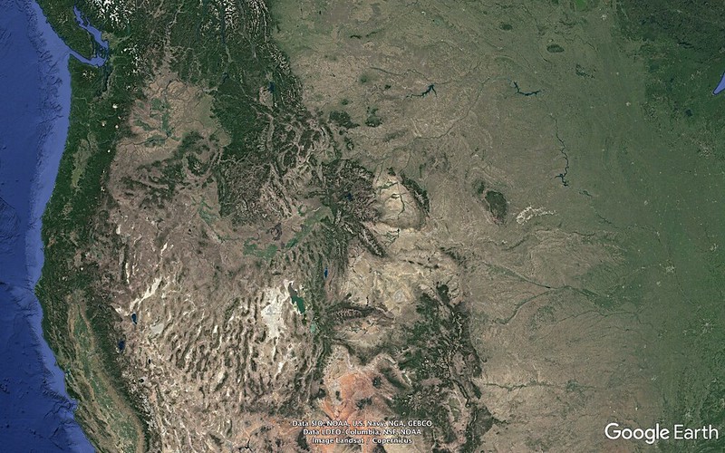
0763.08 miles
http://c1.staticflickr.com/5/4437/36329393664_bb0053017d_o.png
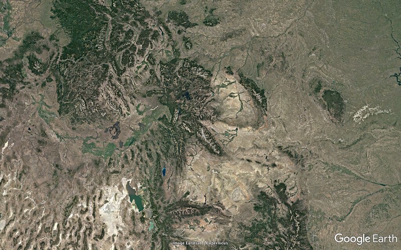
0366.56 miles
http://c1.staticflickr.com/5/4338/36351652383_b5a6fdc6b4_o.png
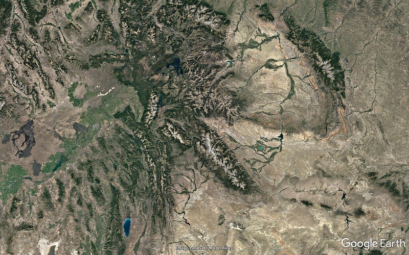
0202.72 miles
http://c1.staticflickr.com/5/4355/36994344602_79fb9a36e2_o.png
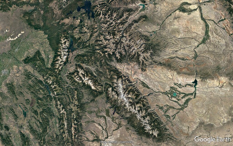
0092.68 miles
http://c1.staticflickr.com/5/4432/36768773140_e832dbc204_o.png
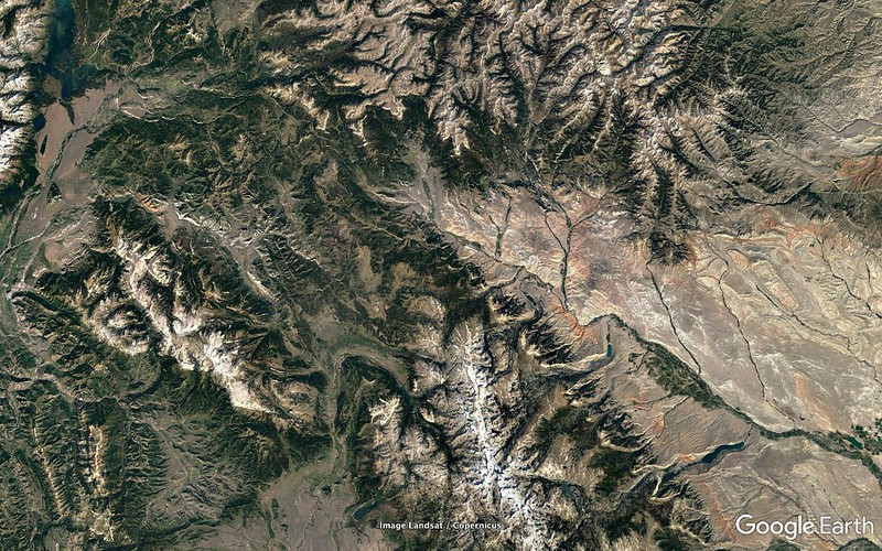
0045.34 miles
http://c1.staticflickr.com/5/4346/36768942050_27f3b23de6_o.png
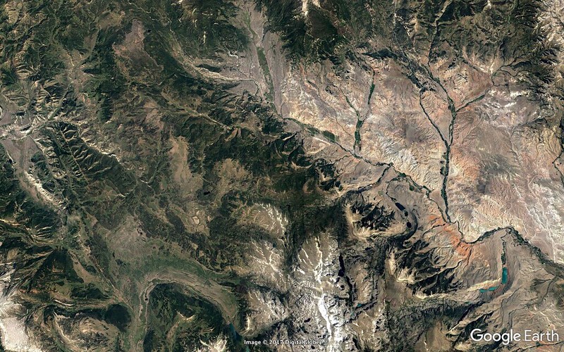
0022.15 miles
http://c1.staticflickr.com/5/4346/36351652223_36da8faab7_o.png
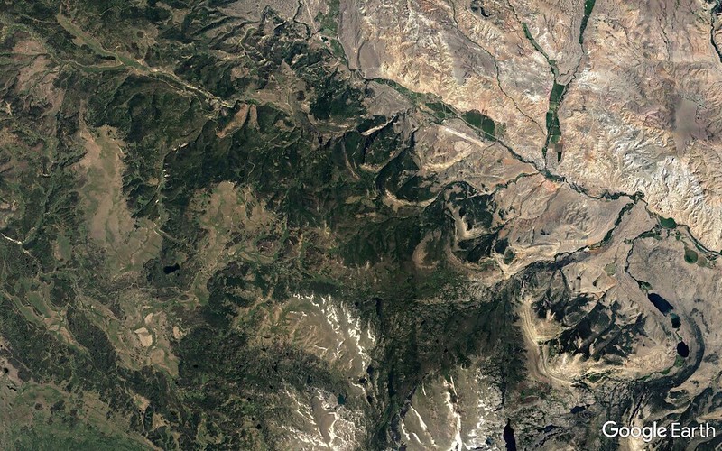
26457 feet
http://c1.staticflickr.com/5/4359/36994344432_7ac32a469b_o.png
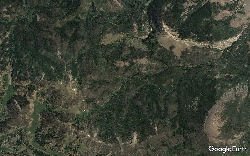
17306 feet
http://c1.staticflickr.com/5/4332/36978097826_6d00d4f0e6_o.png
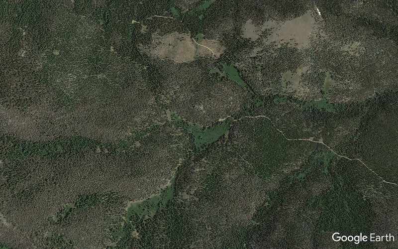
03281 feet
http://c1.staticflickr.com/5/4389/36994343782_7726e9c606_o.png
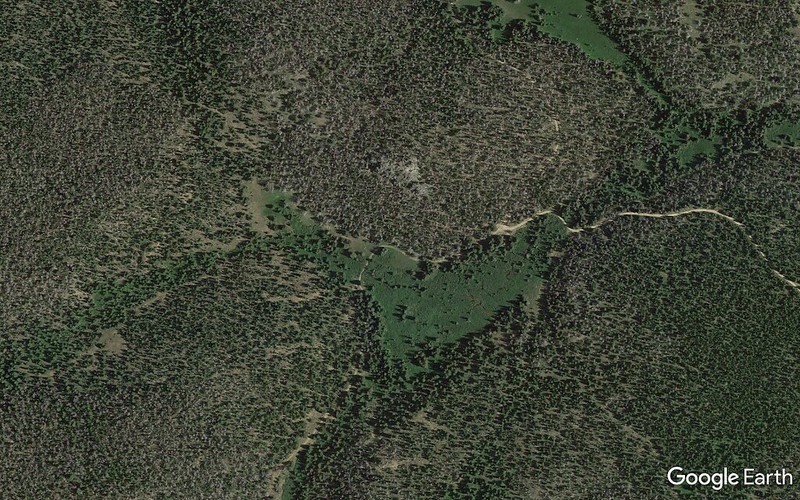
6.47 miles ENE of the intersection of Centerline and Union Pass Road and 3.55 miles off Centerline (on the north side).
http://c1.staticflickr.com/5/4395/36975376086_ce1d5302eb_o.png
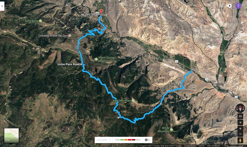
What amazing tools we have at our disposal at this point in human history.
Seriously?
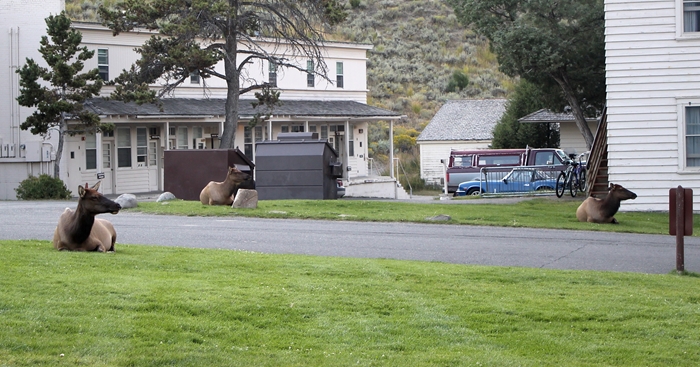
No. Joke. But that's EXACTLY the layout we had up the road at Gardiner.
I
think the one I got footage of is a Dusky:
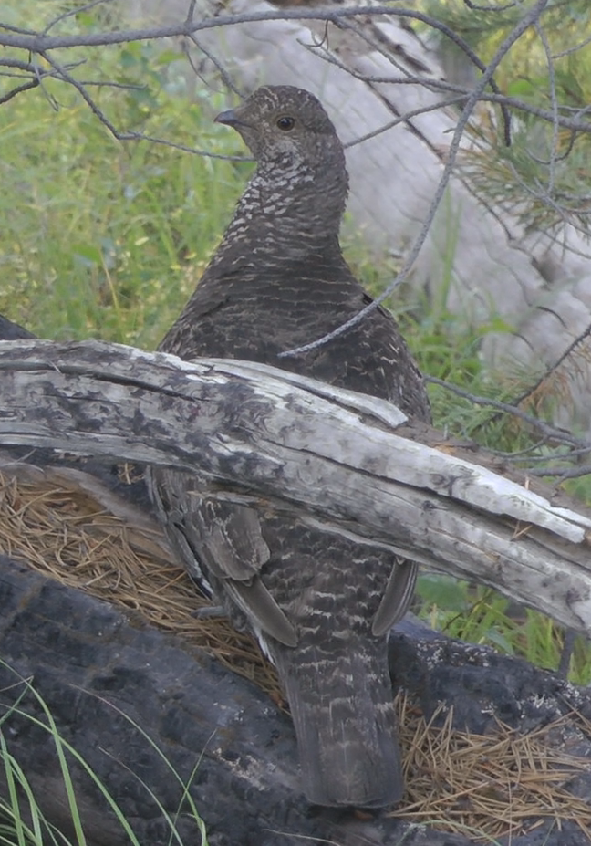
Concur.
The other I saw was in a parking lot looking for handouts. I didn't get a picture and I wouldn't trust my memory enough to do an ID, but I suspect Dusky as well.
Probably. The Ruffed has a distinct terminal band on the tail.
Wildlife in chronological order:
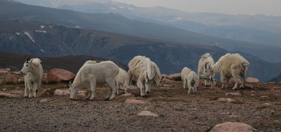
- Bighorn
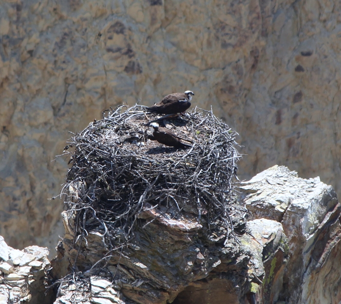
- Ospreys
- Canada Geese (and "ducks")
- Bison
- Elk
- Butterflies:
-- Rocky Mountain Parnassian
-- Milbert's Tortoiseshell
-- Painted Lady
- Redtail
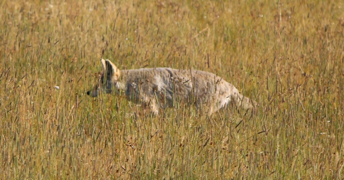
- Coyote
- Common Mergs (females)
- Gray Jay
- Ruddies
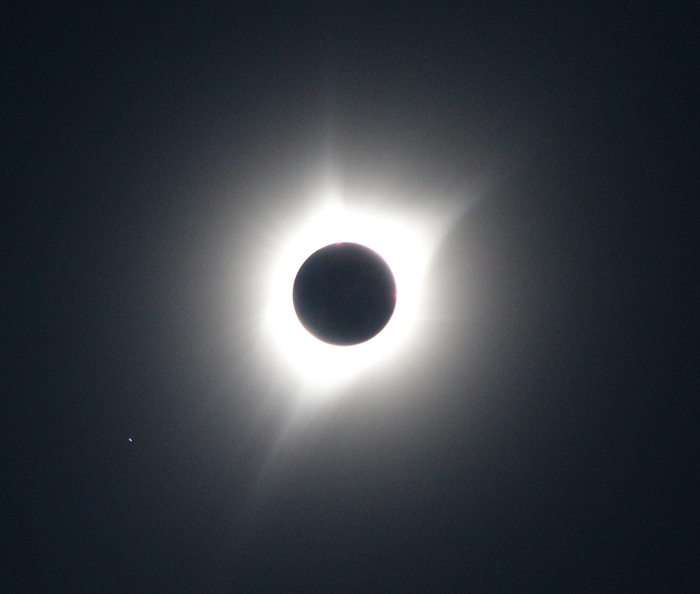
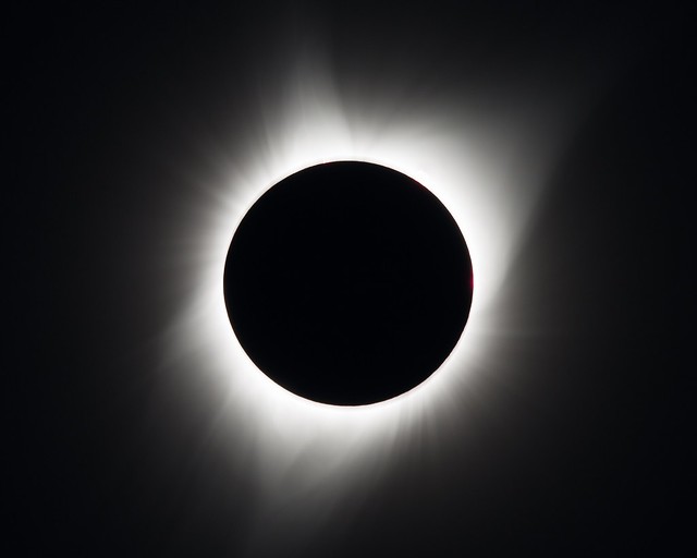
Not bad, fun to have something unique, of one's own. But I don't think cameras are capable of capturing and recording all those wavelengths, intensities, fields of view the way the human eye and brain can. I've seen tons or really cool stuff on the screen but nothing like what I/we saw and experienced in those two plus minutes of totality. Pity the human eye and brain so totally suck in the digital recording, playback, printing departments.
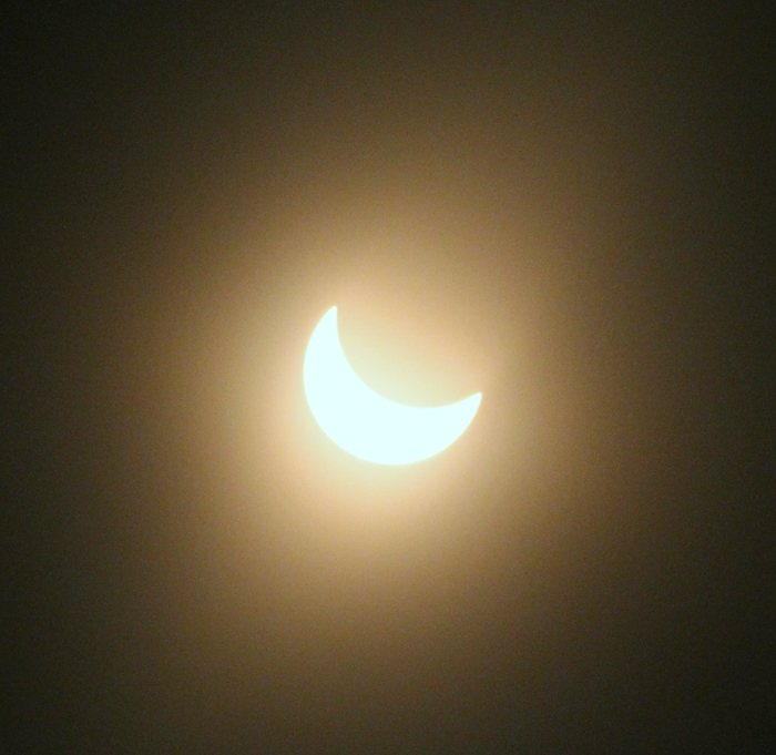
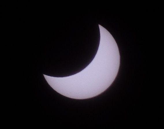
I forgot to put the filter back on at C3 (I did stop the camera shortly after this edit ends), but fortunately the camera wasn't damaged.
I've been playing around with binoculars, solar filters, sun, sunspots a lot since the eclipse.
And about half past noon yesterday a young Redtail snatched something off the roof and took it - and a footful of leaf litter - to a limb off the Black Locust out front. I did my best with the Canon 10x42s but he didn't hang around long enough for me to learn much more.
Late in the day the sun was low and blasting underneath the forest canopy and through the back windows. I grabbed the glasses, went out on the back deck, shifted around trying to get a lock. It wasn't until I GOT the lock that it dawned on me that I hadn't put the filters back on. (Brain hasn't been operating very reliably lately. But hopefully that's I mistake I won't repeat anytime soon.)
The corona appears much more exaggerated in the footage than in reality.
Exactly. Find me some footage or a photo in which it doesn't. The real deal is ghostly. And all the assholes in the path who couldn't be bothered to look up for a few seconds remain secure in their delusions that a total is no big fuckin' deal.
So based on your coordinates best guess - which I believe is accurate based upon your account and what I'm seeing:
http://xjubier.free.fr/en/site_pages/solar_eclipses/TSE_2017_GoogleMapFull.html
USA - 2017 August 21 Total Solar Eclipse - Interactive Google Map - Xavier Jubier
Zack C
2017/08/21
43°30'11.99" N 109°45'48.04" W
43.50333°, -109.76334°
(~9500 foot elevation)
2:20.4 (total solar eclipse)
2:20.2 (lunar limb corrected)
Umbral depth - 089.14%
Umbral depth - 5.8 km (3.6 mi)
Path width - 106.9 km (66.4 mi)
Obscuration - 100.00%
Magnitude at maximum - 1.01286
Moon/Sun size ratio - 1.02884
Umbral velocity - 0.809 km/s (1809 mph)
Event (ΔT=68.8s) - Altitude - Azimuth - P - V - LC
C1 - 16:18:00.1 - 39.4° - 114.3° - 287° - 13.0
C2 - 17:36:35.4 - 51.0° - 136.3° - 102° - 07.6 - -0.6 s
MX - 17:37:45.5 - 51.2° - 136.7° - 199° - 04.3
C3 - 17:38:55.8 - 51.3° - 137.1° - 295° - 01.1 - --0.8 s
C4 - 19:02:22.2 - 58.1° - 170.9° - 110° - 08.1
http://xjubier.free.fr/en/site_pages/solar_eclipses/TSE_20170821_pg01.html
United States of America - Total Solar Eclipse of 2017 August 21 - Xavier Jubier
http://xjubier.free.fr/site_movies/TSE_2017_Simulation_1024x768.mp4
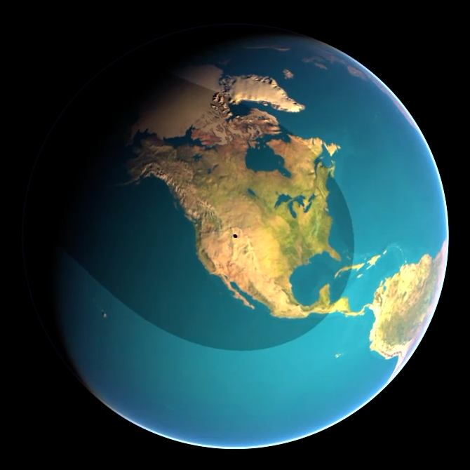
Solar Eclipse Maestro (Xavier M. Jubier)
2017/08/21 17:38UT
If you open the two stills image files - Zack's above and mine below:
http://c1.staticflickr.com/5/4359/36843061851_7dba59f971_o.png
in two browser windows you can toggle back and forth and watch the five minute jump - see the totality spot hopping back and forth across the Continental Divide.
Fun facts:
http://en.wikipedia.org/wiki/Yellowstone_Caldera
Yellowstone Caldera - Wikipedia
Volcanism
Volcanism at Yellowstone is relatively recent with calderas that were created during large eruptions that took place 2.1 million, 1.3 million, and 630,000 years ago. The calderas lie over a hotspot where light, hot, molten rock from the mantle rises toward the surface. While the Yellowstone hotspot is now under the Yellowstone Plateau, it previously helped create the eastern Snake River Plain (to the west of Yellowstone) through a series of huge volcanic eruptions. The hotspot appears to move across terrain in the east-northeast direction, but in fact the hotspot is much deeper than terrain and remains stationary while the North American Plate moves west-southwest over it.
Over the past 18 million years or so, this hotspot has generated a succession of violent eruptions and less violent floods of basaltic lava. Together these eruptions have helped create the eastern part of the Snake River Plain from a once-mountainous region. At least a dozen of these eruptions were so massive that they are classified as supereruptions. Volcanic eruptions sometimes empty their stores of magma so swiftly that they cause the overlying land to collapse into the emptied magma chamber, forming a geographic depression called a caldera.
http://upload.wikimedia.org/wikipedia/commons/8/89/HotspotsSRP_update2013.JPG
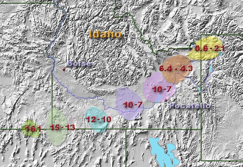
Path of the Yellowstone hot spot over the past 16 million years
So that explains all that lovely rather abrupt flatness...
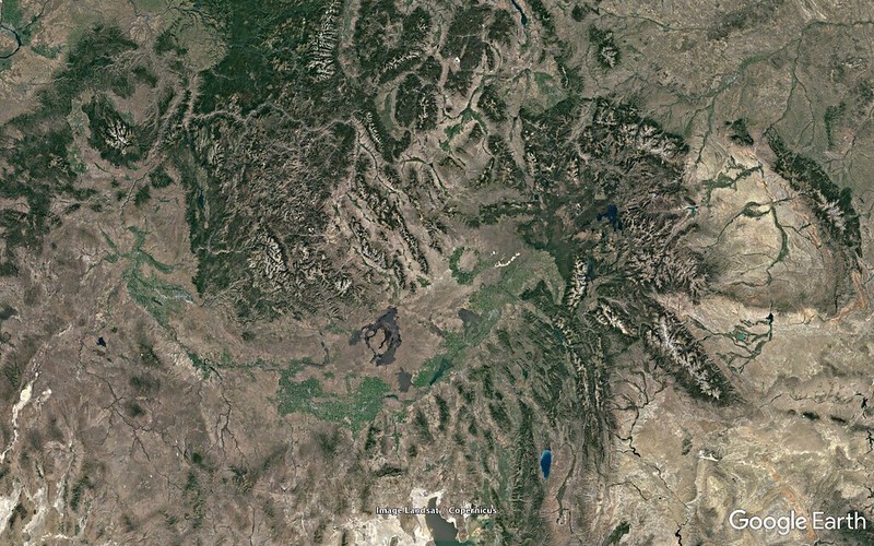
E09 - 03 - 0519.77 miles
http://c1.staticflickr.com/5/4340/36403875630_aa1f3dec28_o.png
01-7108c
http://c1.staticflickr.com/5/4422/36019483243_29a6659003_o.png
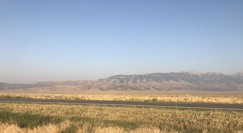
in the vicinity of E09 that simplified my life so much before, during, after the event.
P.S. Note (again) the dark lava flow of the Craters of the Moon National Park in the Google Earth shot.
---
Edit - 2017/09/11 15:45:00 UTC
I've amended thiis post with a series of Google Earth zoom-in shots (like what I did for my E09 viewing location) 'cause:
- I think they're interesting
- it's total hell for me to get my head wrapped around that tangle of mountains, ranges, plateaus, watersheds, plains without such a reference (and still plenty confusing enough even with it)
